Projects / Teaching AI to see permafrost: an early study
Teaching AI to see permafrost: an early study
Exploratory application of convolutional neural networks to automated rock glacier recognition in satellite imagery.
Trained classifier on a SPOT 6 tile, Argentera massif, southwestern Italian Alps. Move the cursor to place the detection window and read the model output. White outlines are rock glaciers inventoried by expert interpretation.
The mapping bottleneck
Rock glacier inventories are a prerequisite for permafrost mapping at regional scale, but they are produced entirely by expert visual interpretation of aerial or satellite imagery. Across the French Alps alone, this produced an inventory of over 3,000 landforms, each requiring individual review - an effort that took years. Large areas of the globe remain incompletely charted because the human effort required is not available. Automated detection tools, if accurate enough to serve as first-pass filters, can support this process.
Training a CNN to recognize rock glaciers
The approach treats rock glacier recognition as an image classification problem. A dataset of 954 labeled rock glacier images was assembled from SPOT 6 orthoimages (grayscale, 1.5 m resolution) covering the French Alps, selecting only landforms with clearly visible creep features (frontal lobes, ridge-furrow morphology) and no snow or shadow obscuring the surface. A matching set of 4,147 generic mountain terrain images provided the negative class, drawn from areas near but not overlapping the inventoried landforms.
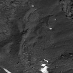
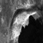
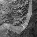
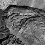
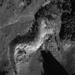
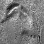
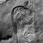
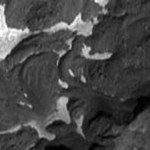
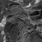
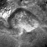
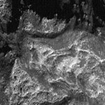
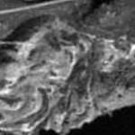
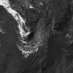
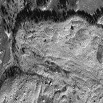
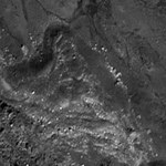
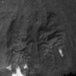
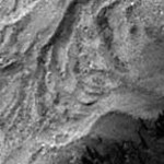
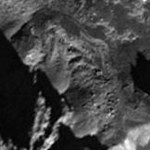
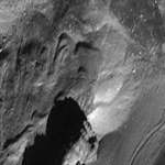
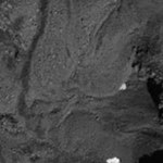
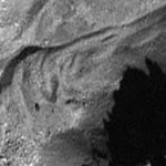
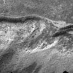
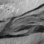
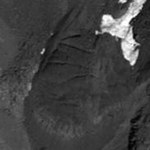
SPOT 6 panchromatic · 150×150 px · 1.5 m resolution · French Alps
The CNN architecture used three convolutional blocks with 32, 64, and 128 filters respectively, each followed by ReLU activation and 2×2 max pooling, then two fully connected layers before a softmax output. Input image size was set at 150×150 pixels, determined by hyperparameter optimization. Training used the Adam optimizer with categorical cross-entropy loss for 5 epochs, after which further training caused overfitting on the validation set.
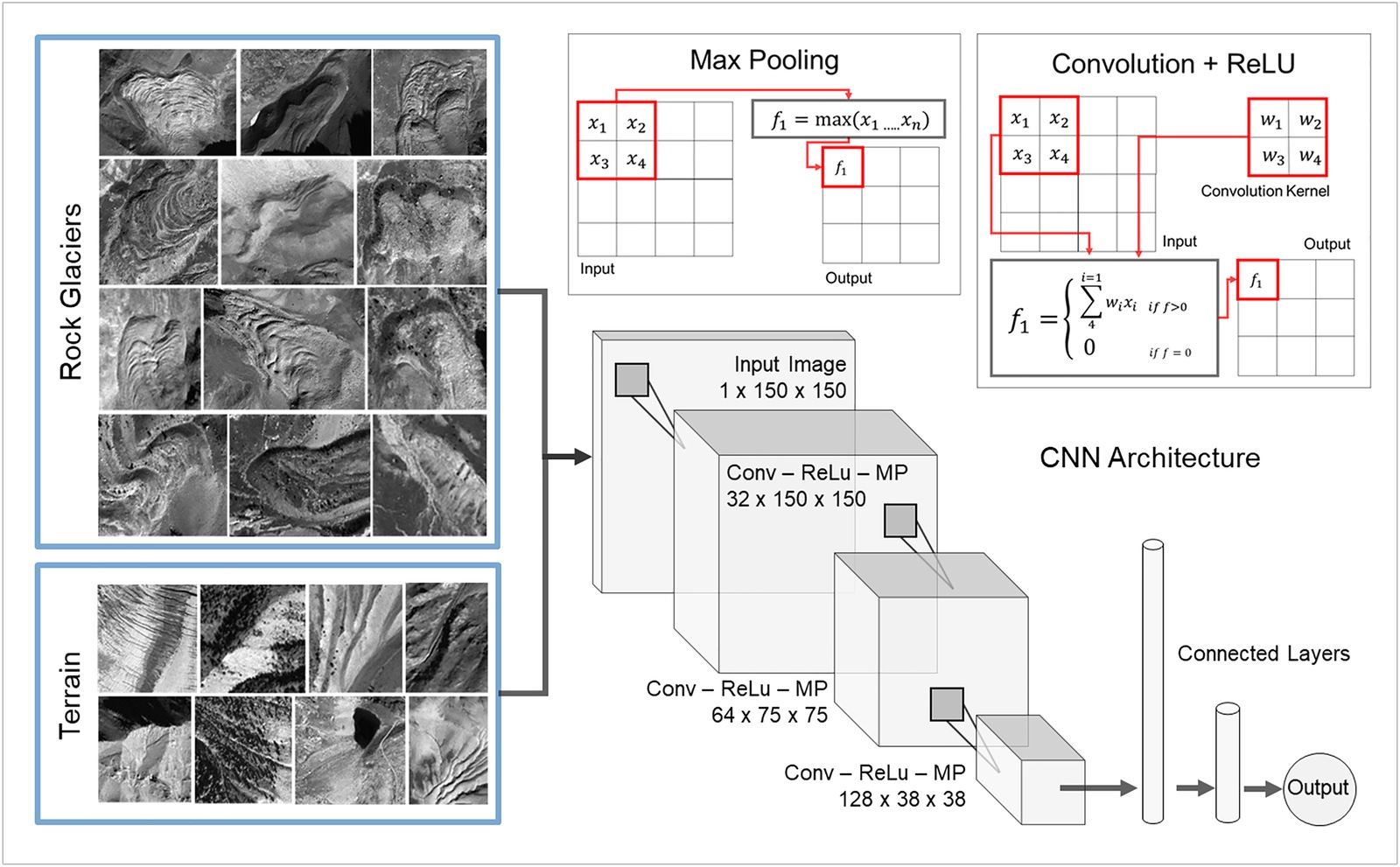
Performance was evaluated on an independent test set from the Italian side of the Alps (127 rock glacier images, 156 generic terrain images), a region the model had never seen during training. The result: 88% true positives (112 of 127 rock glaciers correctly classified) and 79% true negatives (124 of 156 terrain images correctly rejected). Failures concentrated on landforms with atypical illumination, fresh snow, or subdued surface morphology.
Sliding-window detection over a test landscape
Classifying pre-cropped image patches is one thing; detecting rock glaciers within a large unprepared orthoimage is another. The detection algorithm extracted overlapping 200×200 pixel windows from the full SPOT 6 scene at a step of 20 pixels (30 m on the ground), classified each window with the CNN, and recorded the probability score at each position. The test area covers approximately 80 km² of the Argentera massif in the southwestern Italian Alps. The algorithm correctly identified the majority of the larger rock glaciers in the area, particularly those with pronounced lobes and furrows and minimal vegetation. False positives appeared mainly over stream thalwegs and other debris-covered terrain with high morphological complexity.
The study was framed as a proof of concept: demonstrating that a CNN trained on a few hundred images could generalize to an independent region with meaningful accuracy. Open extensions noted at publication included multiscale detection windows, integration of DEM derivatives as additional input channels, and transfer learning from larger remote sensing datasets.
What came next
The proof-of-concept opened a line of work that grew quickly. The main architectural shift was from patch classification (a CNN scoring pre-cropped windows) to full semantic segmentation, where a single forward pass produces a pixel-level detection map over an entire scene. Sun et al. (2024) published the first comprehensive rock glacier inventory for the entire Tibetan Plateau using DeepLabv3+ on Planet Basemaps imagery, cataloguing 44,273 rock glaciers covering more than 6,000 km². That scale would have been unreachable with manual expert mapping alone. The pattern is consistent with how the 2020 paper framed it: automated detection as a first-pass filter that compresses the mapping bottleneck, with expert review reserved for ambiguous cases rather than the full inventory.
Publication
Rock glaciers automatic mapping using optical imagery and convolutional neural networks
Marcer · Permafrost and Periglacial Processes · 31, 561-566 · 2020
doi:10.1002/ppp.2076