Projects
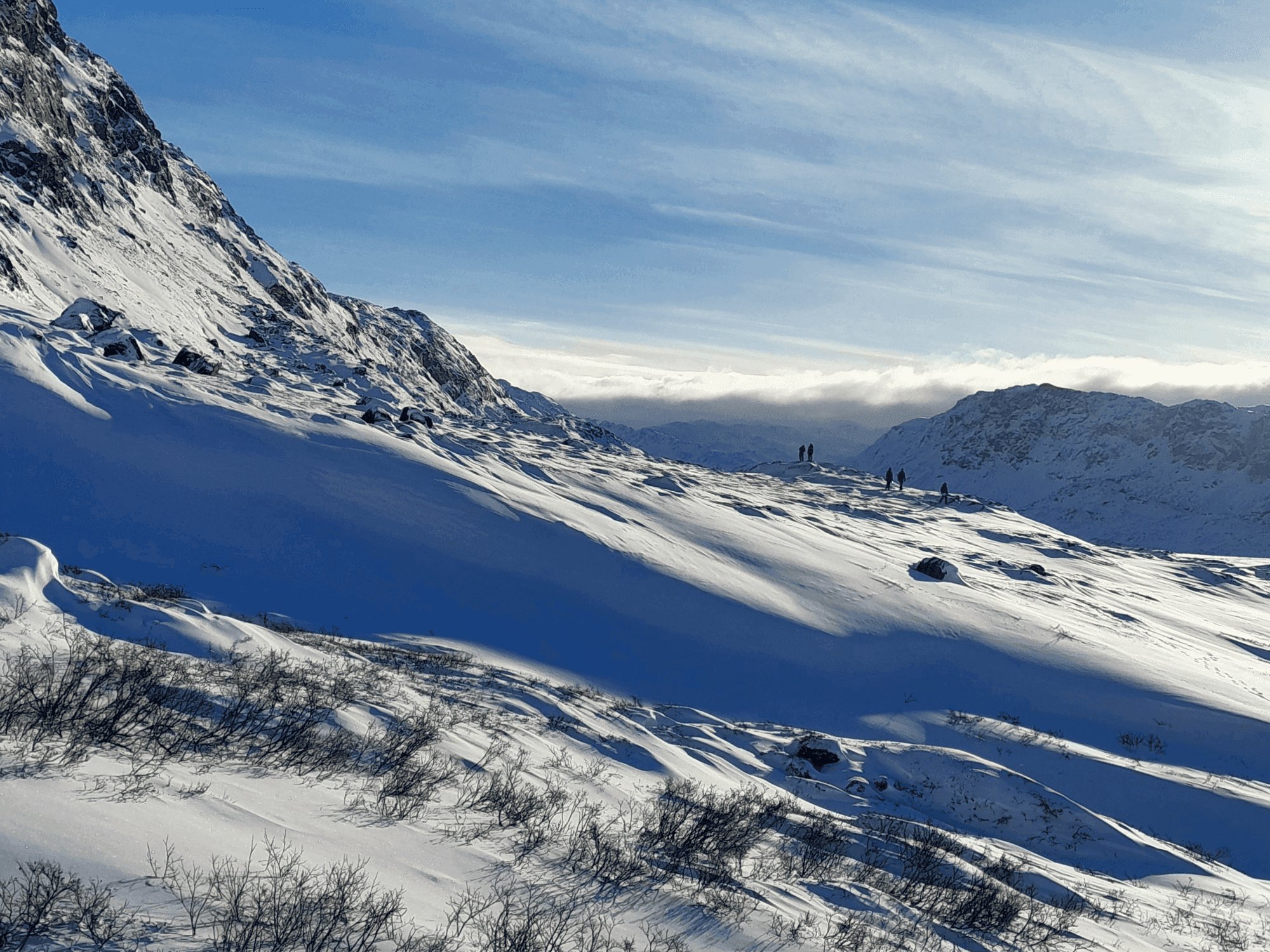 Natural Hazards in the Arctic - DTU MSc course
A new MSc course designed and taught at DTU Sustain. Students learn mitigation strategies under Arctic data-scarcity constraints.
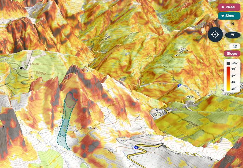 Stacca - Operational avalanche simulations
Physics-based avalanche runout simulation that runs from a tap on the map. Ongoing development with stakeholders.
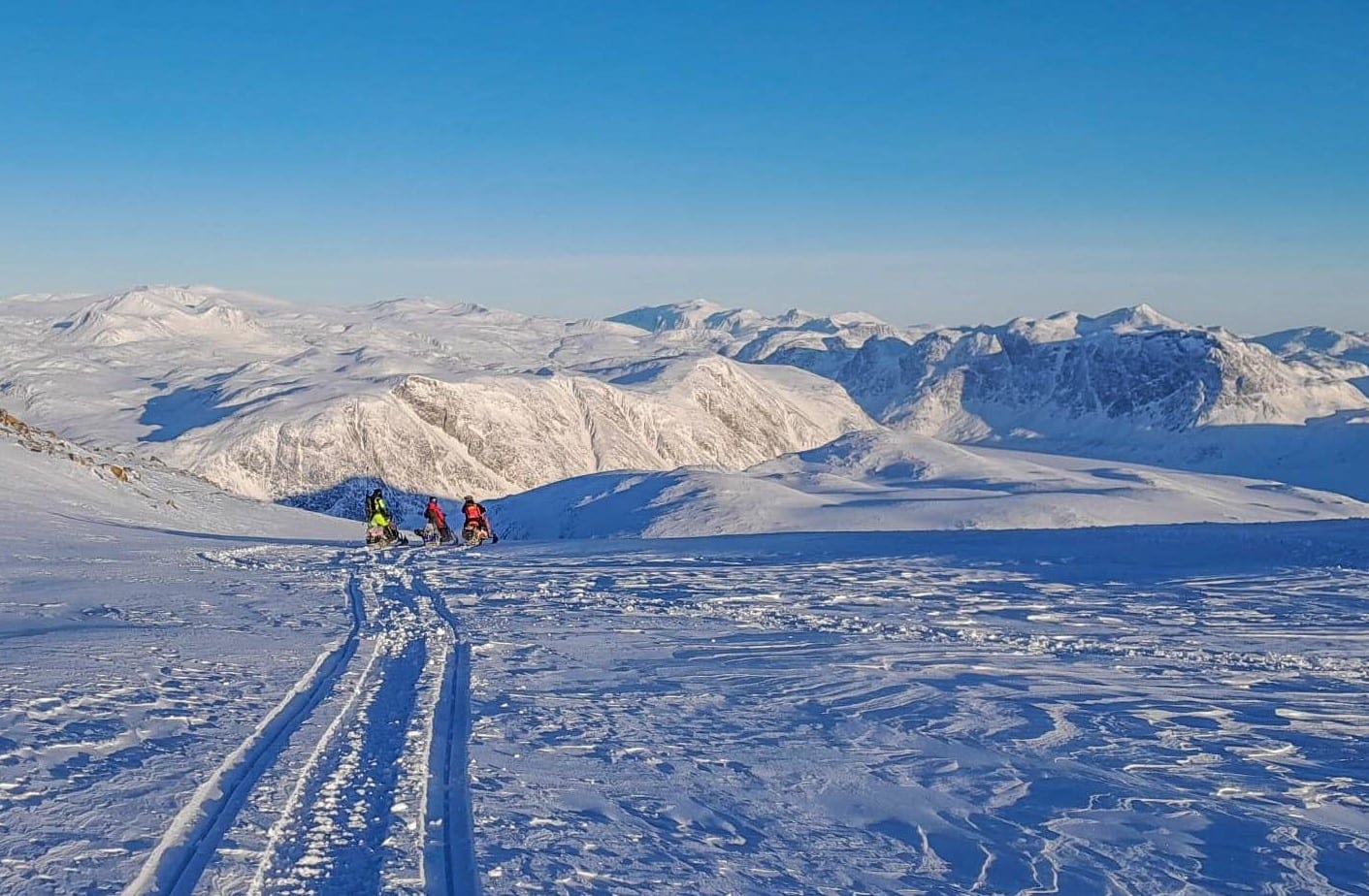 Building an avalanche service for Greenland
Building Greenland's first avalanche service, from fundraising to operational forecasting across three seasons.
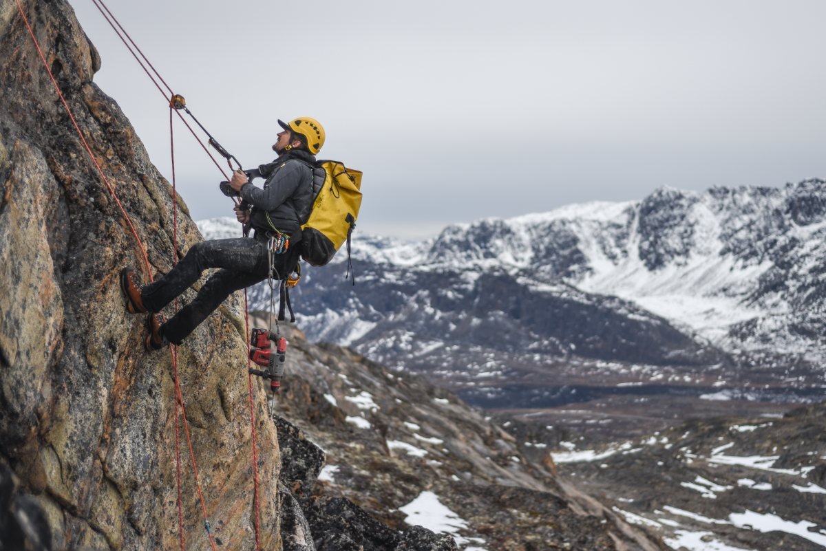 Mapping the invisible: rock-wall permafrost in Greenland
Thermal state and climate-scenario projections for rock-wall permafrost around Sisimiut and Disko Bay.
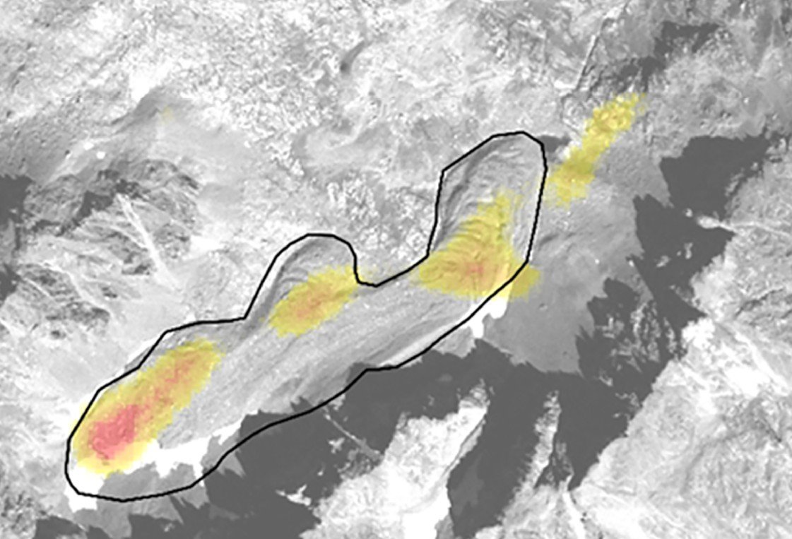 Teaching AI to see permafrost: an early study
A convolutional neural network trained to automatically detect rock glaciers on optical images. A proof of concept that is the basis for modern mapping.
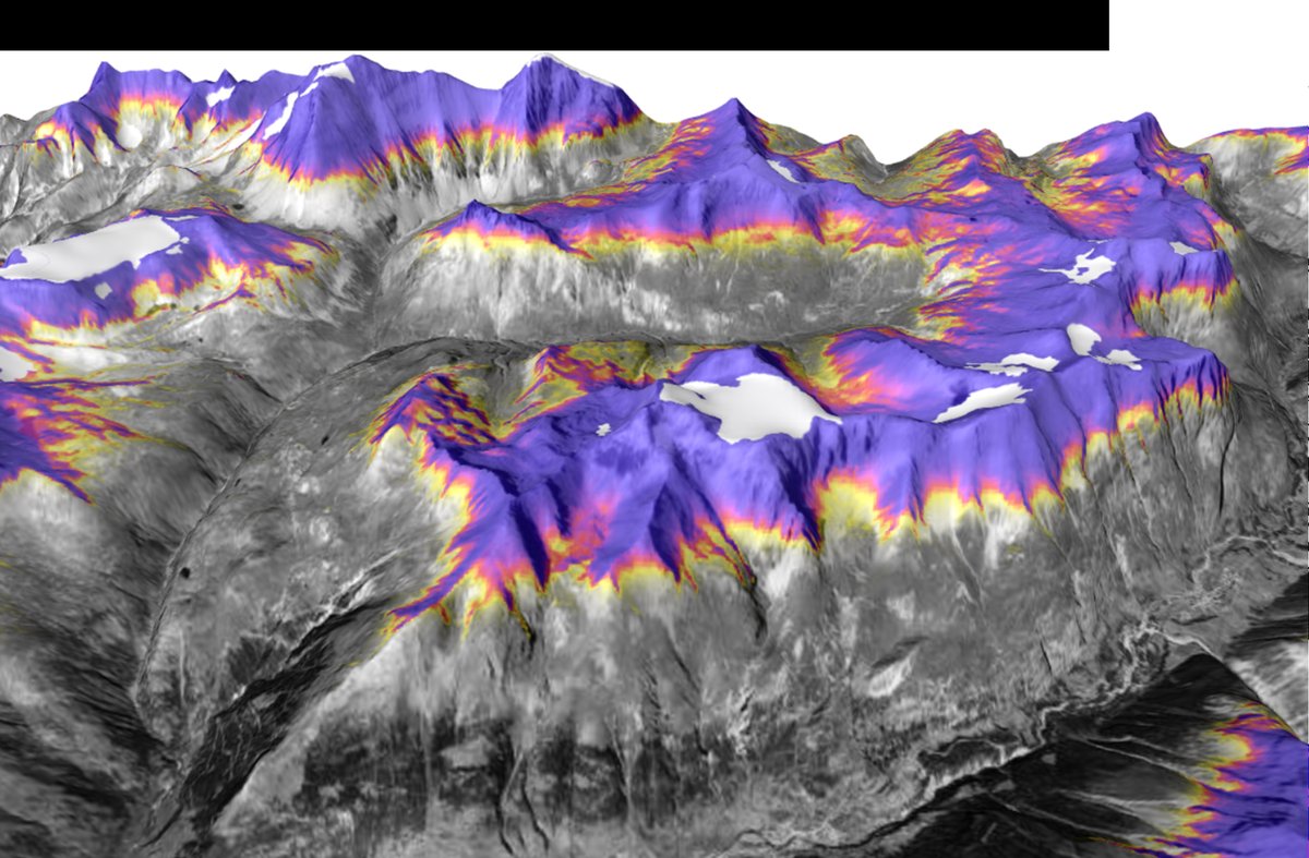 Understanding an emerging hazard: rock glacier destabilization
From a 2015 debris flow to a regional picture: integrating site data into regional-scale models to help authorities understand a changing permafrost.
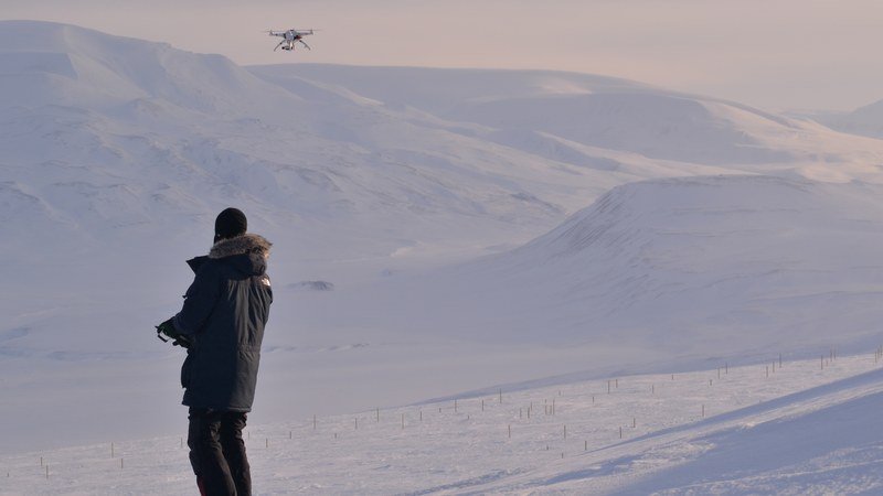 Can drones map snow? Testing UAV photogrammetry in the Arctic
Early test of low-cost drones and SfM for snow depth mapping across six sites. Alongside, machine learning models for snow distribution prediction.
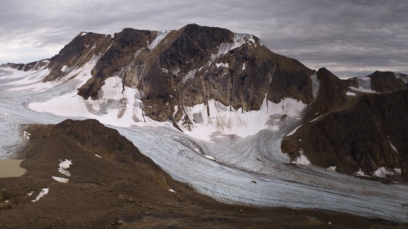 Glaciers, hydropower and climate change in West Greenland
Land-based structure-from-motion surveys and GPR of Aqqutikitsoq glacier. 29-year mass balance and ice volume for the Sisimiut hydropower catchment.
Get in touch
Always happy to chat. Get in touch.