Projects / Can drones map snow? Testing UAV photogrammetry in the Arctic
Can drones map snow? Testing UAV photogrammetry in the Arctic
Early test of low-cost UAV and SfM photogrammetry for high-resolution snow depth mapping across six sites in Svalbard and Greenland. Alongside: machine learning models to predict snow distribution from sparse measurements.
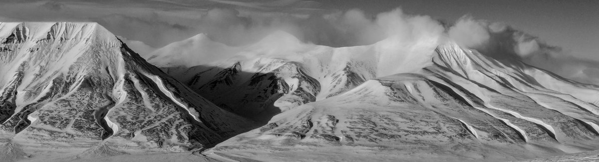
Svalbard, April 2015.
The question
In 2015 consumer drones were barely capable of carrying a camera, and SfM photogrammetry was still proving itself as a survey tool. There was a fundamental question whether this method was applicable to snow: snow is nearly textureless, often uniformly lit under Arctic overcast, and featureless enough that the feature-matching algorithms at the core of SfM were expected to fail. Was snow depth mapping with drones even possible?
In Arctic communities, snow is the dominant form of precipitation, and the seasonal snowpack is the primary water resource. Conventional methods - manual probing, GPR transects, airborne lidar - are either spatially incomplete or too expensive to repeat at the scale and frequency useful for operational hydrology. A low-cost drone method, if it worked, would open entirely new monitoring possibilities.
Approach
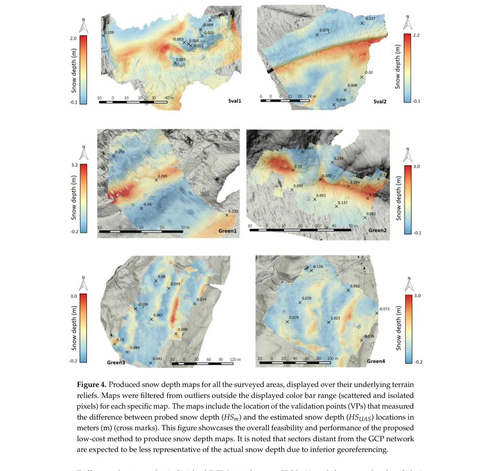
Two off-the-shelf drone and camera combinations, costing $500 and $1700 respectively, were flown over six sites in April 2015 (snow cover) and resurveyed in July 2015 (bare ground). Differencing the snow-surface DEM against the terrain DEM gives snow depth at each pixel. The six sites were chosen to stress-test the method: Svalbard sites had compact wind-blown sastrugi under flat overcast light; Greenland sites ranged from smooth fresh snow under clear sky to steep slopes with thick vegetation.Each scenario was suspected to degrade SfM performance differently.
In parallel, the same field campaigns fed a separate machine-learning study: regression tree models were trained on snow depth point measurements from probing and GPR, together with terrain predictors, to predict snow distribution at 5 m resolution. The goal was to extend UAV-scale observations to broader catchment areas - a relevant problem when UAV range limits coverage.
Results
Snow can be mapped. The snow depth maps reached 6-9 cm spatial resolution across all sites. Average difference against conventional snow probing ranged from 1.5 to 16 cm depending on site conditions - the best results on textured surfaces under clear sky, the worst on featureless snow under flat overcast. Image pre-processing proved critical for recovering reconstruction quality under difficult light. The regression tree models achieved R² between 0.39 and 0.67, showing that statistical snow distribution is learnable from terrain predictors alone, though models remained largely site-specific.
Publications
Application of Low-Cost UASs and Digital Photogrammetry for High-Resolution Snow Depth Mapping in the Arctic
Cimoli, Marcer, Vandecrux, Bøggild, Williams, Simonsen · Remote Sensing · 9(11), 1144 · 2017
doi:10.3390/rs9111144Snow Distribution Statistical Modelling and UAV-borne Remote Sensing of Snow Reflectance in the Arctic
Marcer, Vandecrux · Master's thesis, DTU · 2015
arctic.sustain.dtu.dk