Consultancy
I work on engineering and research problems involving natural hazards, terrain, climate, and environmental processes. My work combines field investigation, geospatial analysis, numerical modelling, and software development to support hazard assessment, infrastructure design, monitoring, and decision-making. Collaborators and clients include environmental agencies, municipalities, engineering firms, and research institutions. I work in Italian, English, and French.
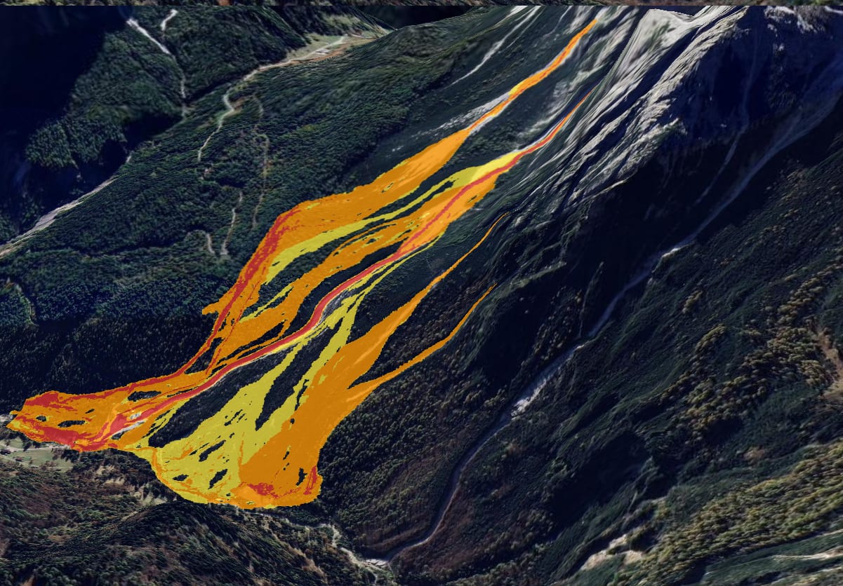
Natural Hazard Engineering
Characterization and modelling of natural hazards including debris flows, avalanches, and related geomorphological processes.
Hazard zonation, numerical simulation, mitigation measures design, structural verification, cost estimation, and site logistics.
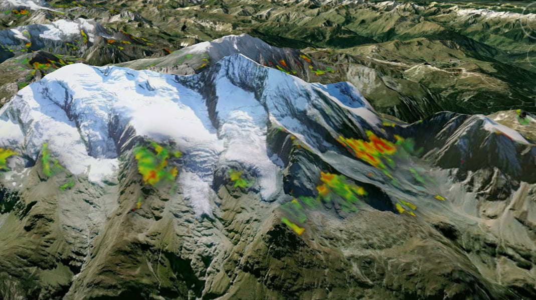
Geospatial Analysis and Mapping
GIS-based terrain analysis and integration of geospatial datasets from remote sensing, field surveys, and time-series observations.
Terrain and process modelling, susceptibility analysis, and production of technical mapping for regulatory and operational applications.
Related project →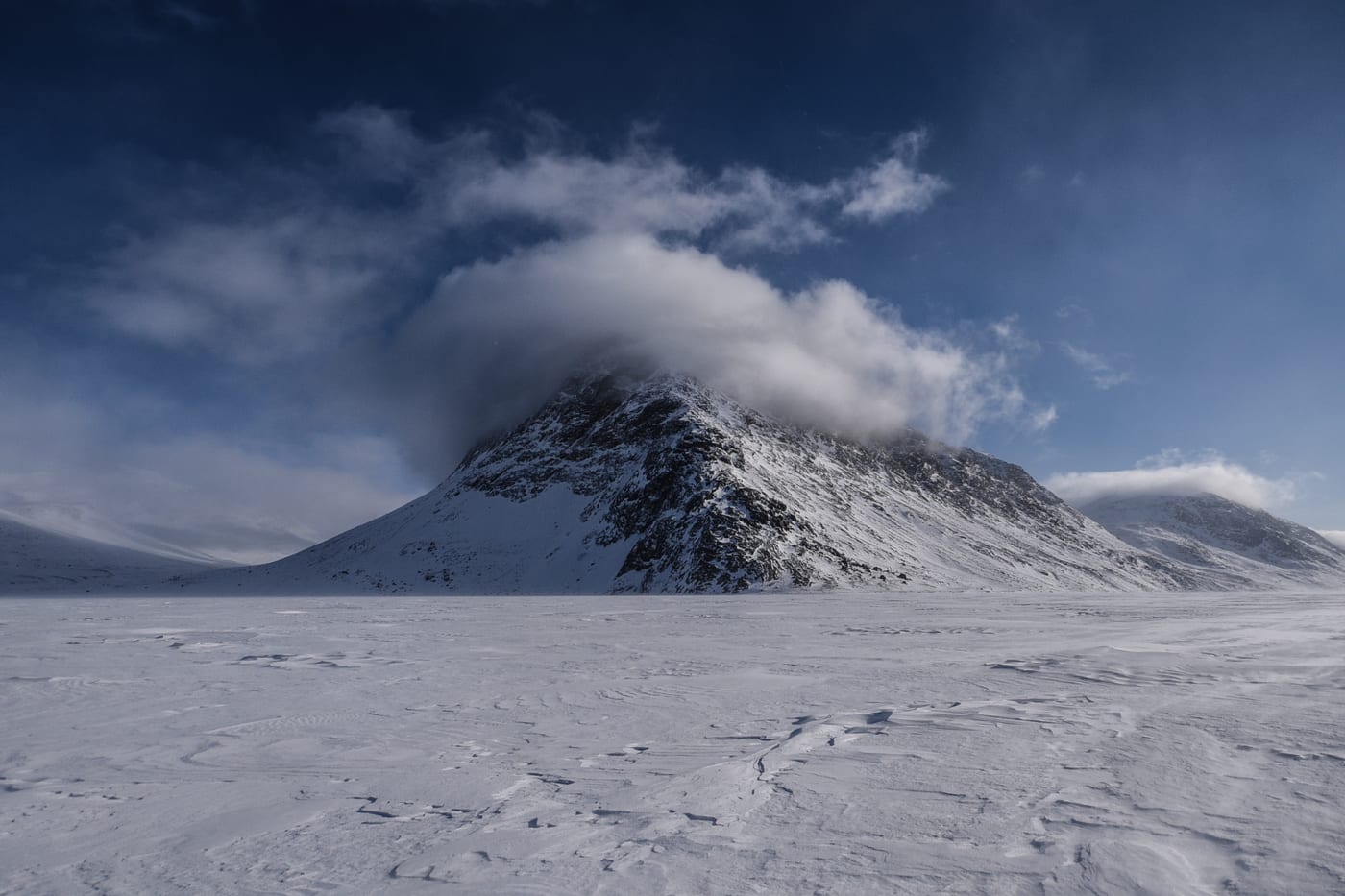
Weather and Climate
Operational weather and avalanche forecasting following european standards and products.
Longer-term climate signals through regional reanalyses and CMIP scenarios, focused on how they shift environmental processes.
Related project →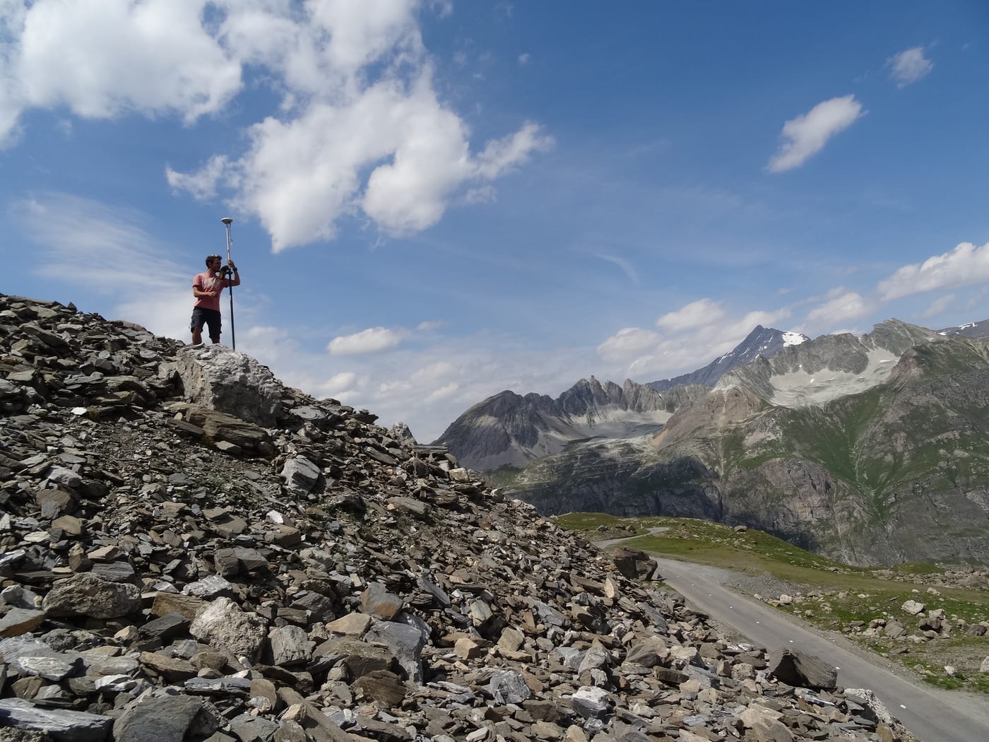
Survey
UAV-based photogrammetry and LiDAR surveys coupled with geophysics.
Topographic reconstruction, subsurface investigations, and repeated surveys for monitoring geomorphological processes and infrastructure.
Related project →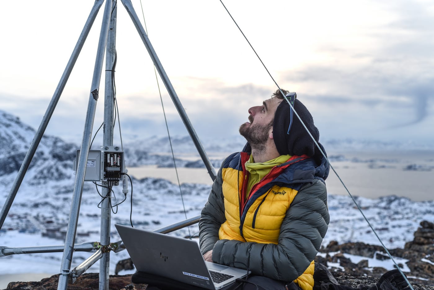
Software development and Data systems
Development of custom software and data systems for engineering and environmental applications.
Web-based tools, data pipelines, monitoring systems, geospatial processing, and automation of technical workflows.
Related project →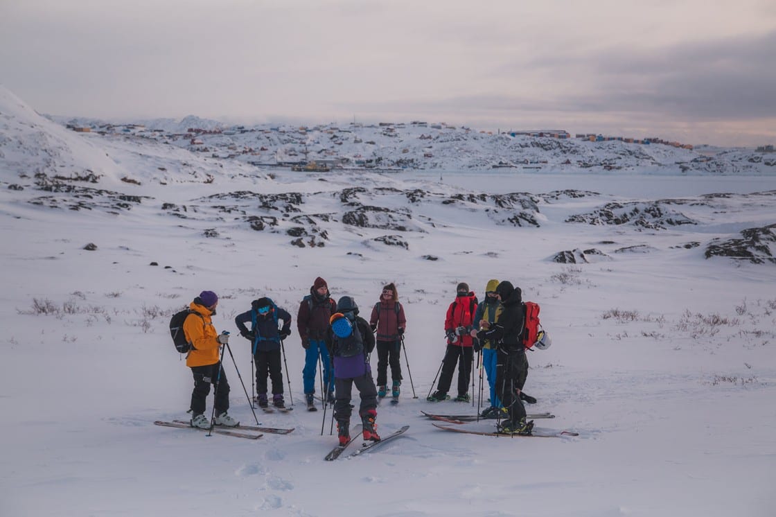
Training and Development
Lecturer in natural hazard assessment, avalanche science, geospatial methods, modelling, and cold-region engineering.
Formats range from short institutional workshops to multi-day field courses. Delivered to professionals and BSc/MSc students.
Related project →